• Registration is easy and free!

  • Welcome to the National Parks USA forum! Registered members can download resources for free and use the forum without advertising banners. Click here for free registration. After registration, check your mailbox and confirm your email address.

Yosemite National Park | Things to Do & Travel Guide

Current park status

7 active alerts
Park Closure

Tioga Road and Glacier Point Road are temporarily closed

Read more Show less
Tioga Road (continuation of Highway 120 through the park) and Glacier Point Road are temporarily closed due to a forecast of snow. Call 209/372-0200 (then 1, 1) to check road conditions in the park.
Park Closure

Tioga Road is temporarily closed due to snowy and icy conditions

Read more Show less
Tioga Road (continuation of Highway 120 through the park) is temporarily closed due to snowy and icy conditions. Call 209/372-0200 (then 1, 1) to check road conditions in the park.
Park Closure

Tioga Road and Glacier Point Road are temporarily closed due to snow

Read more Show less
Tioga Road (continuation of Highway 120 through the park) and Glacier Point Road temporarily closed due to snow. Call 209/372-0200 (then 1, 1) to check road conditions in the park.
Information

No overnight parking on Tioga & Glacier Point Roads

Read more Show less
Overnight parking is not allowed on Tioga Road and Glacier Point Road, including all parking lots reachable from these roads.
Park Closure

Glacier Point Road is closed due to the Dome Fire until 10/10 at 7 am

Read more Show less
The Dome Fire is burning in the wilderness northeast of Wawona. Glacier Point Road is closed until Saturday, October 10, at 7 am because of reduced visibility along the road due to smoke and to safely allow firefighting operations. Additionally, there are some trail closures south of Glacier Point Road.. Smoky conditions are possible at times.
Information

Dome Fire causing minimal impacts

Read more Show less
The Dome Fire is burning in the wilderness northeast of Wawona, resulting in a few trail closures. Smoky conditions are possible.
Information

Yosemite Traffic Updates

Read more Show less
When the park is very busy, you can get updates on current traffic conditions in Yosemite by texting ynptraffic to 333111.

Stay Near This Park

Find a place to stay near Yosemite National Park.

Compare hotels, cabins, campgrounds, RV parks and vacation rentals.

Search Accommodation
Accommodation search powered by Stay22.

Accommodation Map

Browse nearby accommodations around Yosemite National Park.
National Park

Yosemite National Park

Yosemite National Park is one of California’s most celebrated outdoor destinations, famous for towering granite cliffs, spectacular waterfalls, giant sequoias, mountain meadows, and the rugged landscapes of the Sierra Nevada. Although Yosemite Valley contains many of the park’s best-known sights, nearly 1,200 square miles of protected mountains and wilderness make Yosemite a destination worth exploring well beyond the valley floor.

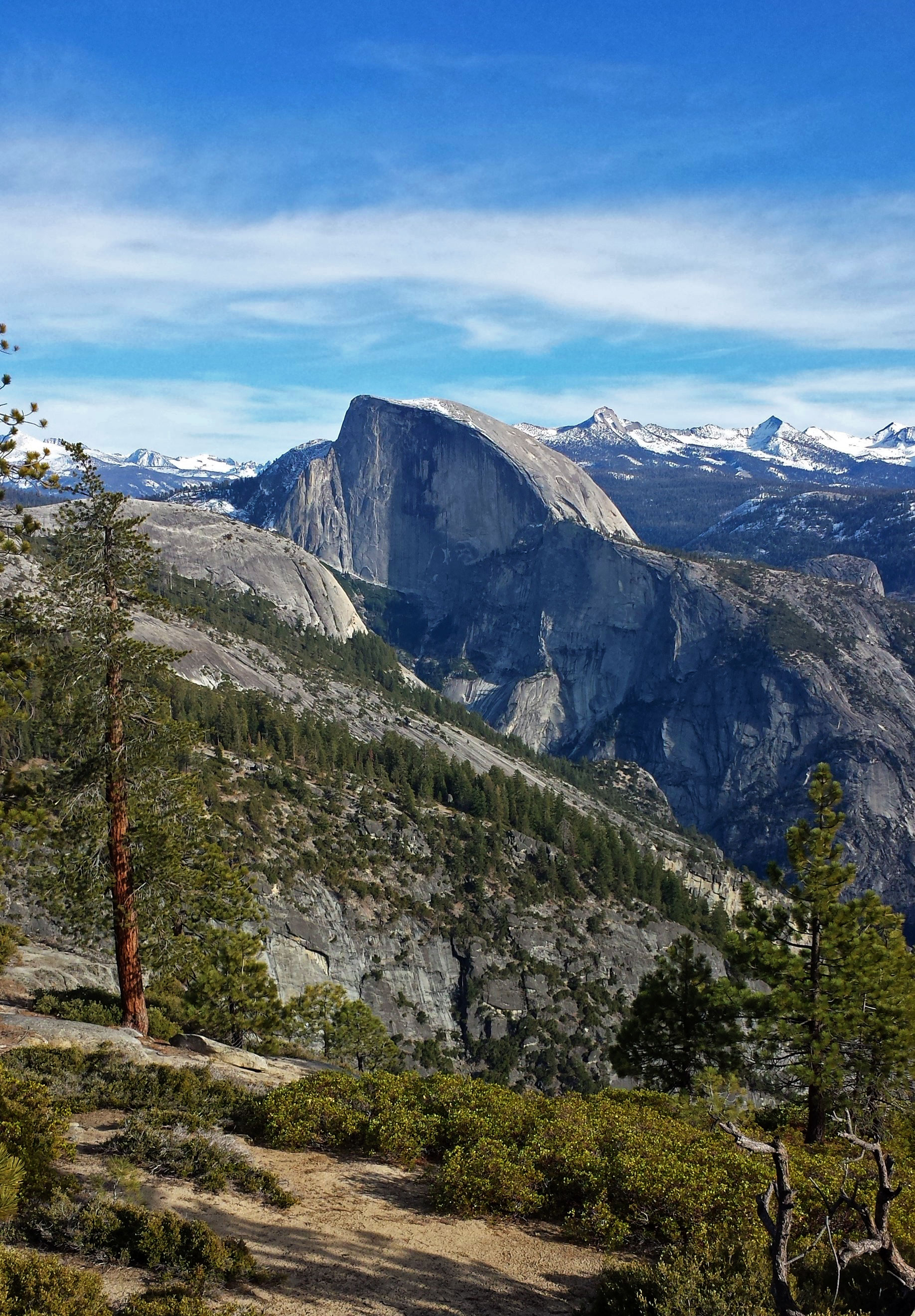
For many first-time visitors, Yosemite Valley is the natural starting point. Here, massive granite landmarks such as El Capitan and Half Dome rise dramatically above forests and meadows. Yosemite Falls, Bridalveil Fall, and other seasonal waterfalls add to the scenery, particularly when snowmelt increases water flow during spring and early summer. Tunnel View provides one of the classic Yosemite panoramas, while Glacier Point offers a remarkable perspective across Yosemite Valley and the surrounding High Sierra.

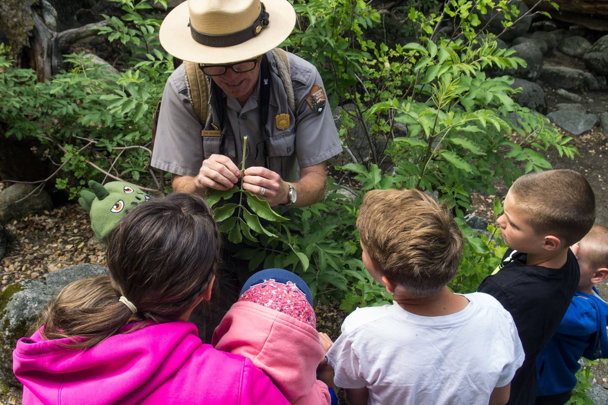
Hiking is one of the most popular things to do in Yosemite National Park. Options range from easy walks through Yosemite Valley to demanding mountain trails and backcountry adventures. Visitors can also explore giant sequoias in Mariposa Grove, drive through high-country scenery when Tioga Road is open, visit Tuolumne Meadows, watch climbers on El Capitan, enjoy photography, bike in designated areas, join ranger programs, or book guided outdoor experiences.

Where you stay can significantly influence your Yosemite vacation. Lodging and camping are available inside the park, placing travelers close to major attractions and trailheads. Hotels, cabins, vacation rentals, and other accommodations can also be found in gateway communities surrounding Yosemite. During busy travel periods, both lodging and campsites can fill well in advance.

Yosemite can work as a short addition to a California road trip, but travelers who stay several days have more opportunities to experience the park beyond its famous viewpoints. Whether your priorities are waterfalls, hiking, photography, climbing, wildlife, giant sequoias, or simply experiencing Yosemite Valley beneath its enormous granite walls, careful planning will help you make the most of one of America’s most distinctive national parks.

Things To Do

Explore Things To Do at Yosemite National Park

Guided Experiences

Discover guided tours and memorable experiences near Yosemite National Park.

Why book a guided experience?

Discover guided tours, tickets and activities available near Yosemite National Park.

Flexible cancellation options
Instant confirmation
Convenient mobile tickets
Experienced local guides
Reviews from fellow travelers
Explore Guided Experiences
We may earn a commission when you book through this link.

Weather forecast

Plan your visit with the latest weather forecast for this park.
Weather alerts active
Winter Storm Warning
This Afternoon
32°F0°C
Snow Showers
SSW 13 mph20 km/h Rain: 100%
Tonight
16°F-9°C
Heavy Snow
W 10 mph16 km/h Rain: 100%
Saturday
34°F1°C
Mostly Sunny
SW 3 mph4 km/h Rain: 1%
Saturday Night
23°F-5°C
Mostly Cloudy
ESE 3 mph4 km/h
Sunday
36°F2°C
Partly Sunny
SSE 5 mph8 km/h Rain: 4%
Sunday Night
25°F-4°C
Snow
SSE 8 mph12 km/h Rain: 92%
Forecast data provided by the National Weather Service.
Last updated: Nov 13, 2026 at 4:56 PM
Official forecast
Forecasts can change and local conditions may vary. Check official weather alerts and park guidance before your visit.

More weather details

This Afternoon
32°F0°C
Snow Showers

Snow showers and a slight chance of thunderstorms before 4pm, then snow. Cloudy. High near 32, with temperatures falling to around 28 in the afternoon. Wind chill values as low as 16. South southwest wind 10 to 15 mph, with gusts as high as 35 mph. Chance of precipitation is 100%. New snow accumulation of 10 to 16 inches possible.

SSW 13 mph20 km/h Rain: 100%
Tonight
16°F-9°C
Heavy Snow

Snow before 4am. Mostly cloudy. Low around 16, with temperatures rising to around 19 overnight. Wind chill values as low as 14. West wind 0 to 20 mph, with gusts as high as 40 mph. Chance of precipitation is 100%. New snow accumulation of 7 to 11 inches possible.

W 10 mph16 km/h Rain: 100%
Saturday
34°F1°C
Mostly Sunny

Mostly sunny. High near 34, with temperatures falling to around 28 in the afternoon. Wind chill values as low as 9. Southwest wind 0 to 5 mph.

SW 3 mph4 km/h Rain: 1%
Saturday Night
23°F-5°C
Mostly Cloudy

Mostly cloudy, with a low around 23. Wind chill values as low as 18. East southeast wind 0 to 5 mph.

ESE 3 mph4 km/h
Sunday
36°F2°C
Partly Sunny

Partly sunny, with a high near 36. South southeast wind around 5 mph.

SSE 5 mph8 km/h Rain: 4%
Sunday Night
25°F-4°C
Snow

Snow after 10pm. Mostly cloudy, with a low around 25. South southeast wind 5 to 10 mph, with gusts as high as 20 mph. Chance of precipitation is 90%. New snow accumulation of 3 to 5 inches possible.

SSE 8 mph12 km/h Rain: 92%
Monday
28°F-2°C
Snow

Snow. Mostly cloudy, with a high near 28. South southwest wind 0 to 5 mph. Chance of precipitation is 90%. New snow accumulation of 4 to 8 inches possible.

SSW 3 mph4 km/h Rain: 92%
Monday Night
12°F-11°C
Light Snow Likely

Snow likely. Mostly cloudy, with a low around 12. Northeast wind 0 to 5 mph. Chance of precipitation is 60%. New snow accumulation of 1 to 2 inches possible.

NE 3 mph4 km/h Rain: 56%
Tuesday
26°F-3°C
Slight Chance Light Snow

A slight chance of snow before 4pm. Mostly sunny, with a high near 26. Southwest wind 0 to 5 mph. Chance of precipitation is 20%.

SW 3 mph4 km/h Rain: 18%
Tuesday Night
12°F-11°C
Partly Cloudy then Chance Light Snow

A chance of snow after 4am. Partly cloudy, with a low around 12. Southeast wind 0 to 5 mph. Chance of precipitation is 50%. New snow accumulation of 1 to 2 inches possible.

SE 3 mph4 km/h Rain: 54%
Wednesday
26°F-3°C
Heavy Snow

Snow. Cloudy, with a high near 26. South wind around 5 mph. Chance of precipitation is 90%. New snow accumulation of 10 to 16 inches possible.

S 5 mph8 km/h Rain: 94%
Wednesday Night
18°F-8°C
Heavy Snow

Snow. Cloudy, with a low around 18. Southwest wind 5 to 15 mph, with gusts as high as 35 mph. Chance of precipitation is 90%. New snow accumulation of 10 to 16 inches possible.

SW 10 mph16 km/h Rain: 94%
Thursday
25°F-4°C
Light Snow Likely

Snow likely. Partly sunny, with a high near 25. West southwest wind 0 to 5 mph. Chance of precipitation is 60%. New snow accumulation of 1 to 3 inches possible.

WSW 3 mph4 km/h Rain: 63%
Thursday Night
11°F-12°C
Chance Light Snow

A chance of snow before 4am. Partly cloudy, with a low around 11. Northeast wind 0 to 15 mph, with gusts as high as 30 mph. Chance of precipitation is 30%. New snow accumulation of less than one inch possible.

NE 8 mph12 km/h Rain: 32%

Weather alerts

Winter Storm Warning

Winter Storm Warning issued November 13 at 10:30AM PST until November 17 at 4:00AM PST by NWS Hanford CA

* WHAT...Heavy snow expected. Widespread Moderate Impacts with total snow accumulations up to 20 inches. Winds gusting as high as 50 mph. * WHERE...Sierra Nevada above 6,000 feet. * WHEN...Until 4 AM PST Tuesday. * IMPACTS...Travel could be very difficult to impossible. The hazardous conditions will impact the Friday evening and Monday morning commutes. Gusty winds could bring down tree branches. Roads, and especially bridges and overpasses, will likely become slick and hazardous.

If you must travel, keep an extra flashlight, food, and water in your vehicle in case of an emergency. The latest road conditions for the state you are calling from can be obtained by calling 5 1 1. Persons should consider delaying all travel. Motorists should use extreme caution if travel is absolutely necessary.

Disclaimer

Plan your visit with the latest weather forecast for this park.

Conditions can change quickly and may vary by elevation and location. Check the official forecast and park alerts before you travel.

Forecasts can change and local conditions may vary. Check official weather alerts and park guidance before your visit.

Location and map

View this park in your preferred navigation app for directions and nearby places.

Things To Buy

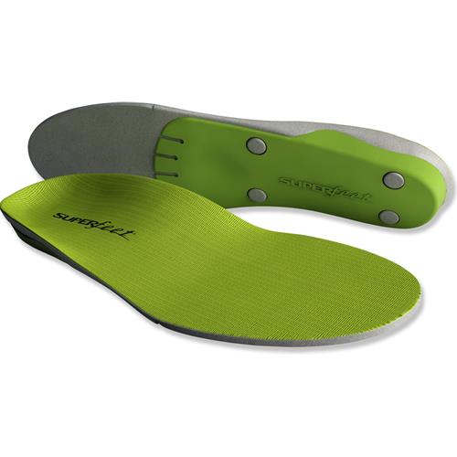
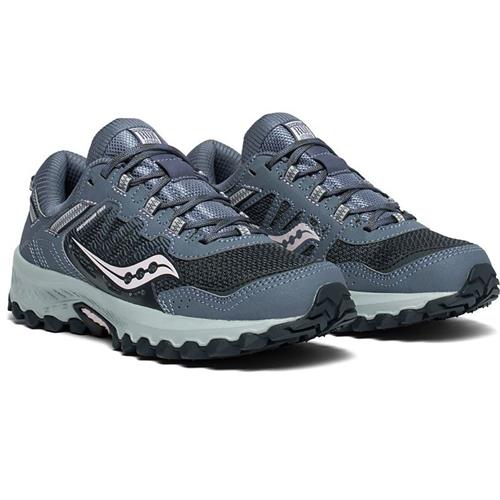
Recommended gear for Yosemite National Park

Directions

Yosemite National Park is located in California’s Sierra Nevada and can be reached by several different routes. Travelers arriving from western California can enter the park via Highway 41 from the south, Highway 140 from the west, or Highway 120 from the northwest. From the eastern Sierra, Highway 120 crosses Tioga Pass when the road is open. Because Yosemite covers nearly 1,200 square miles, the park does not have one practical destination address. Choose your entrance and driving route based on where you are staying and which part of Yosemite you plan to visit. Navigation apps can occasionally suggest unsuitable routes, so follow posted highway and park signs. Fresno Yosemite International Airport and Merced Regional Airport are among the commercial airports within driving distance, with additional options available elsewhere in California and Nevada. Public transportation to Yosemite Valley is also available from several surrounding communities. Winter snow can close Tioga Road and other high-elevation roads for extended periods. Always check current road conditions before traveling, particularly from late fall through spring.

Climate

Yosemite National Park experiences dramatically different weather depending on season and elevation. The park rises from roughly 2,000 feet to more than 13,000 feet in the Sierra Nevada, so conditions in Yosemite Valley can be very different from those in the high country. Summers in Yosemite Valley are generally warm and dry, with July and August daytime highs averaging close to 90°F. Higher elevations such as Tuolumne Meadows remain considerably cooler. Spring brings milder temperatures and is especially popular for viewing waterfalls as mountain snow begins to melt. Fall typically offers cooler temperatures and increasingly quiet conditions, while winter brings rain or snow to Yosemite Valley and substantial snowfall to higher elevations. Most of Yosemite’s precipitation falls between October and May, and snow can restrict access to high-country roads for many months. The best time to visit Yosemite therefore depends on your plans. Pack for changing conditions and check forecasts for the specific areas and elevations you intend to explore.

Camping

Explore campgrounds in and near Yosemite National Park.

Campground illustration Campgrounds: 16

Find your camping base

Find a campground that fits your trip. Explore the setting, facilities and reservation information before you plan your stay.

Reservation information
Campsites and facilities
Locations and campground maps
Explore all campgrounds

Information & Disclaimer

National Parks Explorer strives to present accurate and up-to-date information collected from official and trusted sources, including the National Park Service. While we make every effort to keep this information current, information may be incomplete, inaccurate, outdated or subject to change without prior notice, including access requirements, permits, reservations, operating hours, alerts, fees, road and trail conditions, weather and other visitor information.


Read more Read less

Always verify the latest information with the relevant official source before making travel plans, reservations, purchases or visiting a park.

National Parks Explorer is an independent information platform provided through national-parks-usa.com and is not affiliated with or endorsed by the National Park Service or other data providers. All information is provided for general informational and planning purposes only and is used entirely at your own risk. To the fullest extent permitted by applicable law, National Parks Explorer and national-parks-usa.com cannot be held responsible or liable for any loss, damage, injury, inconvenience, missed reservation, travel disruption, financial loss, additional expense or other costs resulting from the use of, or reliance upon, information provided through this website.

Back
Top